Explore
Featured
Recent
Articles
Topics
Login
Upload
Featured
Recent
Articles
Topics
Login
Upload
Search Results for 'area lidar'
area lidar published presentations and documents on DocSlides.
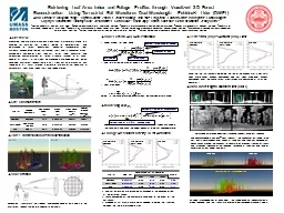
Characterizing CA Spotted Owl Habitat with Lidar
by verticalbikers
Jonathan Kane. Malcolm North. Van Kane. Greg Asner...
Using LiDAR Data to Automatically Delineate Sinkholes in So
by natalia-silvester
Nate Green and Jacob Hartle. Forest and Natural R...
THE LIGHT FANTASTIC USING AIRBORNE LIDAR IN ARCHAEOLOGICAL SURVEY S
by cheryl-pisano
Crutchley Aerial Survey Investigation Research D...
CE 365K Hydraulic Engineering Design
by debby-jeon
Concepts using in Exam 1. 6 March 2014. Professio...
Using
by liane-varnes
LiDAR. , “WATER”, and TOPMODEL. TOPO-Driven H...
Determination of an Optimum Sector Size for Plan Position
by natalia-silvester
Indicator Measurements using a Long Range Coheren...
Processing Terrain Data in the River Proximity
by pasty-toler
Arc Hydro River Workshop. December 1, 2010. Erin ...
by quorksha
in Austin, Texas. By . Kiersten. . Dube. Shoal Cr...
Site Harvard Hemlock
by alida-meadow
Site 305. Site Harvard EMS tower. The LAI estimat...
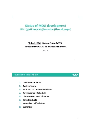
Status of MOLI
by quinn
developmentMOLI Multi-footprint Observation Lidar ...
A Fully Automated Approach to Classifying Urban Land Use an
by olivia-moreira
Jason Parent. Qian Lei . University of Connecticu...
Evolution and Vertical Structure of
by yoshiko-marsland
the 20 June 2015 Bore Observed during PECAN. Dana...
Phase Resolved X-Band Wave Inversions in Multi-modal Seas
by yoshiko-marsland
SOMaR-3 . July 14-17, . 2015. . Eric Terrill, To...
Load More...